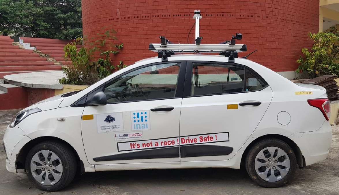
Project iRASTE aims to re-imagine Road Safety with the predictive power of AI. For the first time, AI will act as a force multiplier and transform Road Safety Engineering. Predictive insights generated via AI can prevent accidents even before they happen. Over time, the project expects to impact a 50% decline in road accidents in Nagpur city and Blackspot reduction on the city’s road network.

GIS mapping with cameras, LIDAR, RADAR & Night-vision cams with road infra, traffic violations, green cover mapping and road cleanliness mapping.
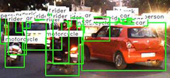
IDD (Indian Driving Dataset) is the world’s first dataset of Indian driving conditions.,. The data set helps researchers develop algorithms for the unique Indian conditions,.
5 datasets Camera, LiDAR, Night-vision, RADAR, GIS data Over 7800 users from 30+ countries 3 international and 2 national data challenges conducted Over 140 research papers across the world have used IDD.


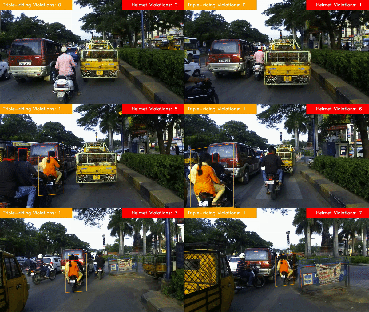
Introducing Ihub-data's mobility solutions, a suite of cutting-edge systems designed to improve safety and efficiency on the roads. Algo's available:
INPUT FORMAT : GoPro or dashcam videos (any format)
OUTPUT FORMAT : Processed MP4 Video with violations, Tree Count, pothole count and map.